info@vectorgeoconsultants.com
At VectorGeo Consultants, we provide a wide range of surveying, mapping, and land development services for individuals, developers, businesses, and government organizations. Our expertise spans traditional land measurements to advanced GPS/GIS-based analysis, ensuring precision and compliance in every project.
We combine modern technology with deep regional knowledge to deliver accurate, reliable, and timely services to meet your project’s specific needs.

Accurately define your land's legal limits with our professional boundary surveys. We help property owners avoid future disputes and ensure regulatory compliance for construction and fencing.

From farmland to residential layouts, we create precise plotting maps suitable for registration, documentation, and approvals.

Using high-resolution satellite imagery and GIS tools, we map properties for better visual reference and digital accessibility, ideal for project planning and land records.

Ensure construction accuracy with our detailed site surveys, alignment checks, and topographic mapping tailored for residential, commercial, and infrastructure development.

Our high-precision GPS and DGPS surveys offer accurate geolocation data, essential for large-scale infrastructure, roadworks, and mapping projects.

Determine surface elevations and land contours for effective drainage planning, landscaping, and construction with our topographic contour mapping services.

We support you in getting your building plans approved by relevant authorities. From documentation to submission, we streamline the entire process.
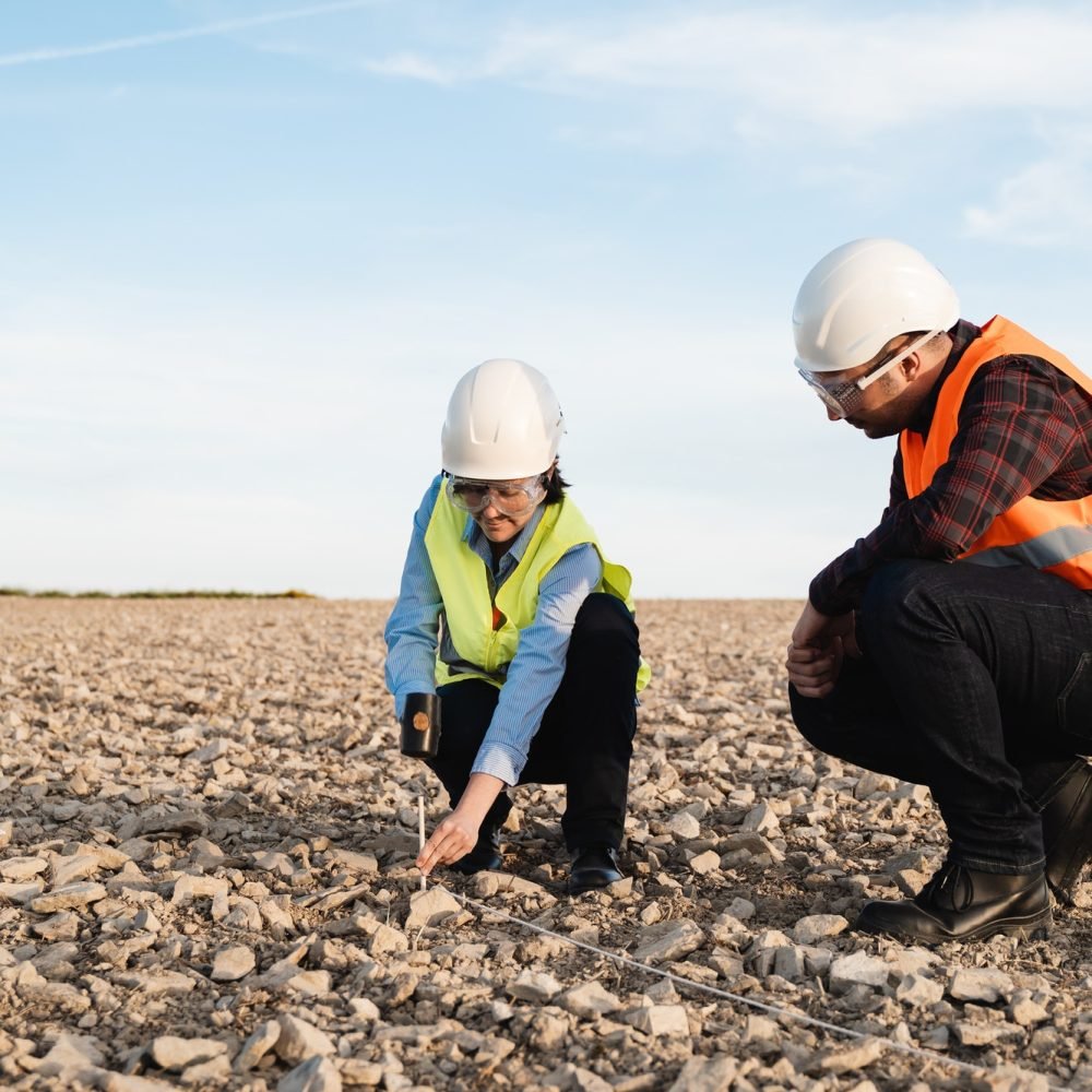
Ensure your land layout is compliant with DTCP regulations. We provide full consultancy and technical documentation for smooth approval processes.

We provide accurate FMB drawings directly sourced and digitized for legal, registration, or development purposes, ensuring authenticity and clarity.

Our professional soil testing services help evaluate land suitability for construction, agriculture, and landscaping by analyzing composition, strength, and drainage.
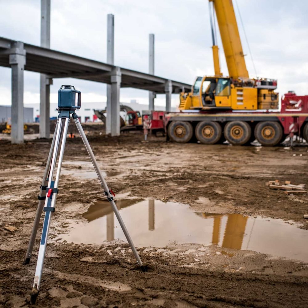
We conduct in-depth mining and mineral exploration surveys using GPS and total station technologies to help industries meet regulatory and operational standards.

Detailed topographic surveys reveal terrain features, elevations, and man-made structures—vital for architects, engineers, and planners.
Have a project in mind? Get in touch with VectorGeo Consultants for precise surveying and geospatial solutions. We’re here to assist you every step of the way.